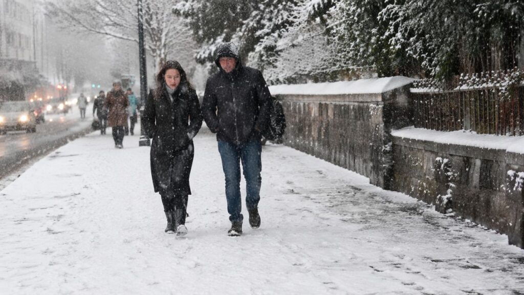
Britain faces another cold spell as spring snow is expected to arrive in parts of the country later this month. The forecast comes just weeks after temperatures reached 26.5C in London during a period of bright sunshine recorded by the Met Office.
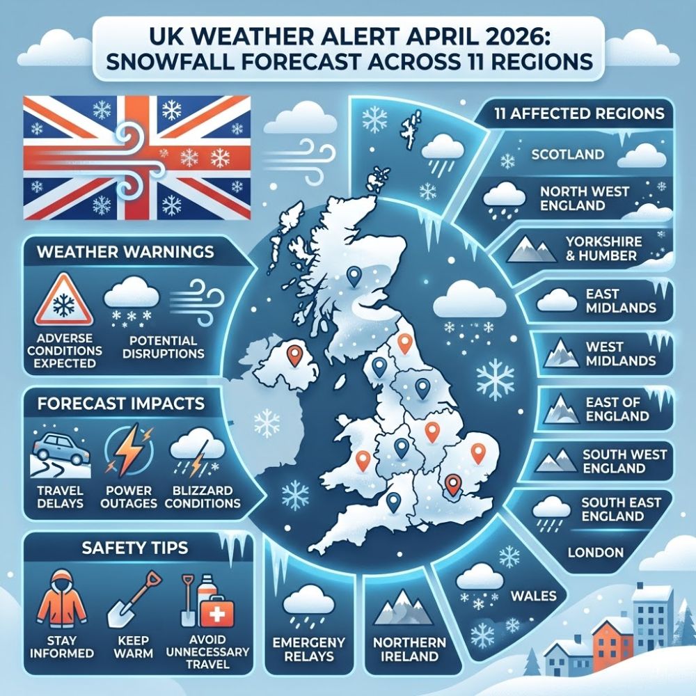
The unpredictable weather means people may need to keep their winter coats handy for a while longer. Weather maps from WXCharts indicate snow could fall over a 24-hour period on Sunday April 26. Areas in England that might see snow include parts of West Yorkshire and Cumbria along with Northumberland and Derbyshire and Greater Manchester with the Pennines region particularly affected.
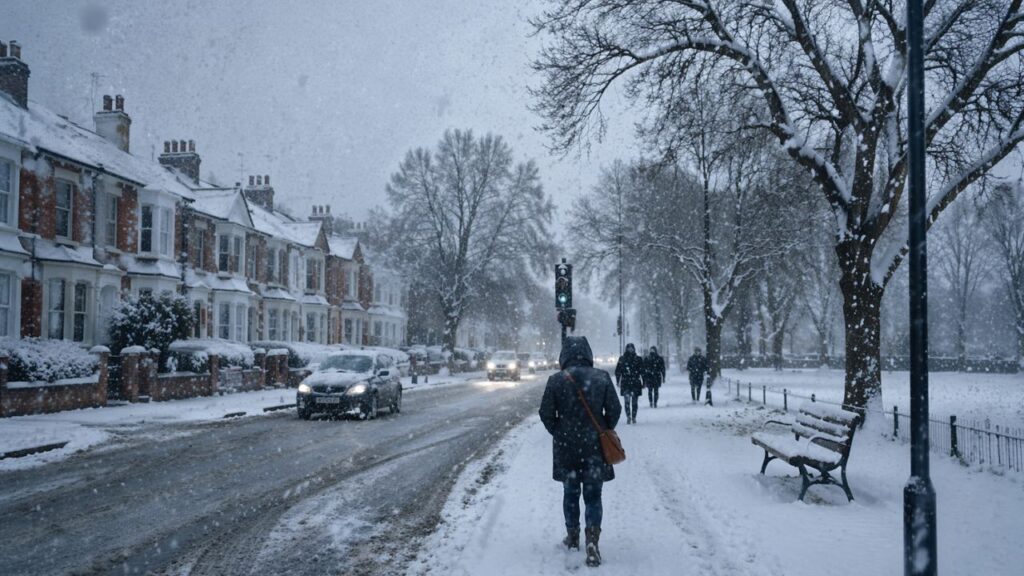
Scotland is also expected to experience cold conditions with several regions potentially seeing snowfall.

The Highlands and Dumfries and Galloway could be affected along with Edinburgh & the Lothians and the Glasgow and Clyde Valley areas.

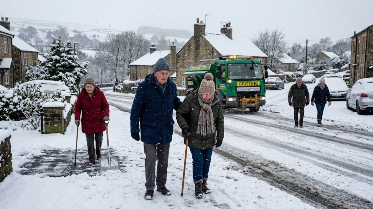
The Met Office long-range forecast for April 20 to 29 suggests high and low pressure systems will compete for dominance over the UK.
High pressure from the north or northeast will initially bring dry weather and sunny periods to most areas.
Meanwhile low pressure 69 t to push weather fronts toward the UK from the southwest though these systems may move slowly.
Eastern coastal areas might experience cooler temperatures with low cloud and winds coming from the sea. Western regions will likely feel warmer particularly where sunshine breaks through. Toward the end of the forecast period there are indications that unsettled weather could develop bringing rain or showers to some locations.
The Met Office five-day forecast
shows sunny spells and showers today

with the heaviest showers in northern areas possibly bringing hail and thunder along with gusty winds. Cloud & rain will spread from the southwest later while southeastern areas remain warm.
Tonight early showers
will fade leaving clear spells before cloud & rain move in from the west becoming heavy and gusty in the north. Temperatures will stay mild with some mist possible in the southeast.
Friday
 UK Food Supply Warning 2026: Worst-Case Shortage Scenario Considered Amid Ongoing Global Conflict
mist clear from the southeast with a mostly dry start and early sunshine. Rain will move eastward across the country during the day followed by heavy showers in the northwest. Winds will strengthen throughout the day.